Location
Peak overview
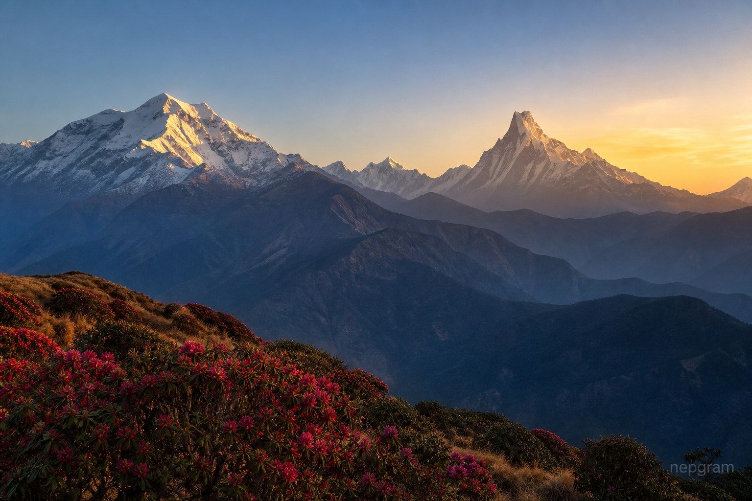
Gangapurna (7,455 m) towers above the Manang valley and Gangapurna Lake in the Annapurna region. Its massive north face is a striking sight for Annapurna Circuit trekkers, and the mountain remains a seldom-climbed technical objective sought by experienced mountaineers.
Data sources
Peak reference data (elevation, first ascent, and registry codes) is compiled from the Himalayan Database Peak List via Nepal Himal Peak Profile, with permit fee context from the Nepal Mountaineering Association and the Department of Tourism where shown. Figures are indicative — confirm with the issuing authority before you travel. Full credits: Attribution.
Department of Tourism expedition permit
Expedition peaks require a DoT climbing permit; fees depend on elevation and season. 8000 m peaks typically require a liaison officer and full expedition logistics.
- Expedition permit application through a registered expedition operator
- Climbing royalty paid per official DoT fee schedule
- Rescue and medical insurance meeting DoT minimums
- Liaison officer arrangement where required (typically 8000 m peaks)
- Restricted-area or conservation permits for the approach trek if applicable