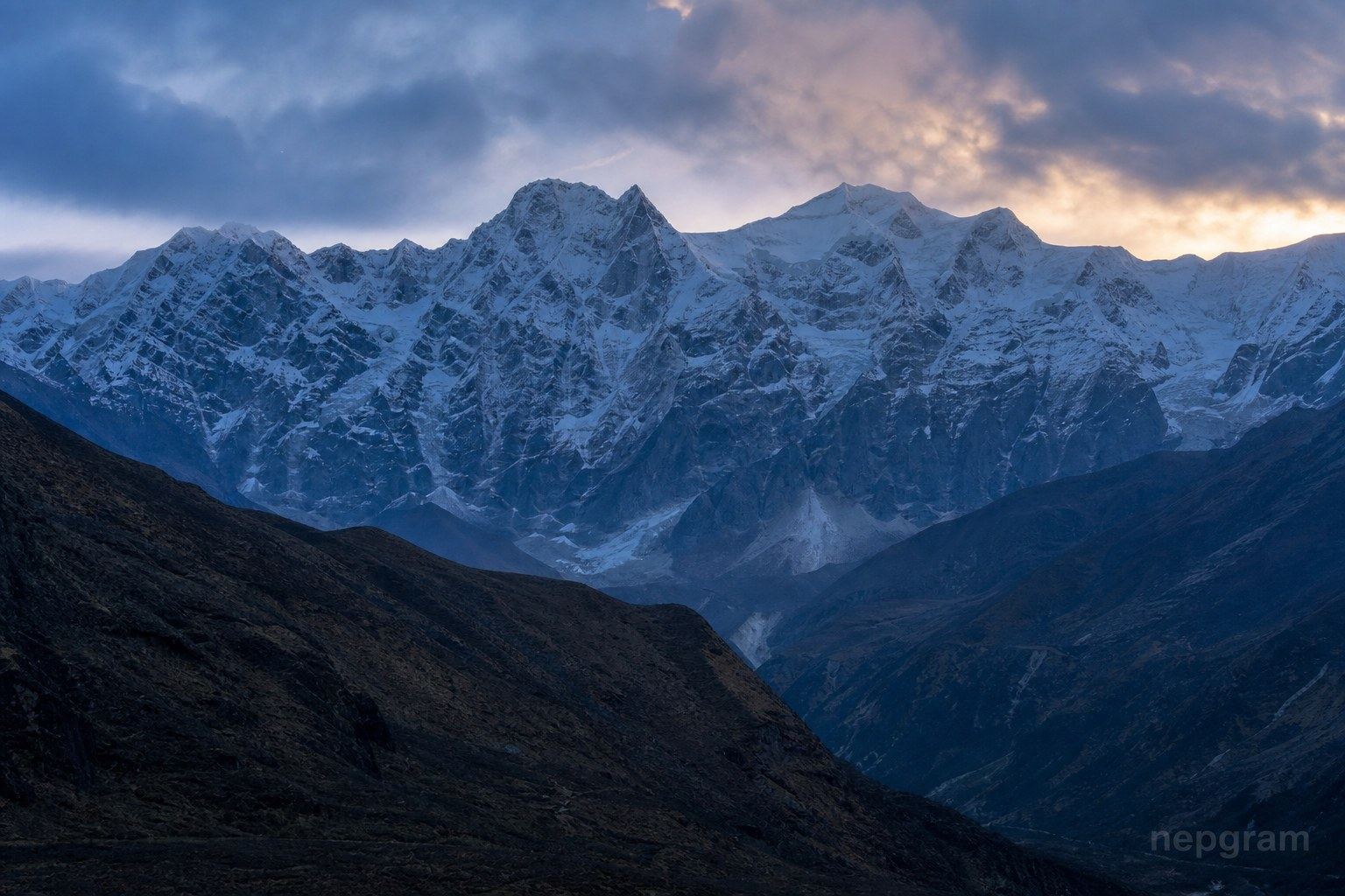
Elevation7,362 m24,154 ft
Typical duration35-48 days
Climbing statusOpen for Climbing
Permit issued byDoT
To base camp150.0 km
Location
27.7878°, 88.1953°
Peak overview
Kirat Chuli (7,362 m) rises on the Sikkim–Nepal border as part of the Kangchenjunga massif. Also called Tent Peak, it was first climbed in 1939 and remains a remote eastern Himalayan objective.
Data sources
Peak reference data (elevation, first ascent, and registry codes) is compiled from the Himalayan Database Peak List via Nepal Himal Peak Profile, with permit fee context from the Nepal Mountaineering Association and the Department of Tourism where shown. Figures are indicative — confirm with the issuing authority before you travel. Full credits: Attribution.
Department of Tourism expedition permit
Expedition peaks require a DoT climbing permit; fees depend on elevation and season. 8000 m peaks typically require a liaison officer and full expedition logistics.
- Expedition permit application through a registered expedition operator
- Climbing royalty paid per official DoT fee schedule
- Rescue and medical insurance meeting DoT minimums
- Liaison officer arrangement where required (typically 8000 m peaks)
- Restricted-area or conservation permits for the approach trek if applicable
Climbing facts
Mountain range
Kangchenjunga Himal
District / region
Taplejung · Koshi Province
Entry point
Flight to Bhadrapur or Suketar from Kathmandu
First ascent
1939 · German Expedition