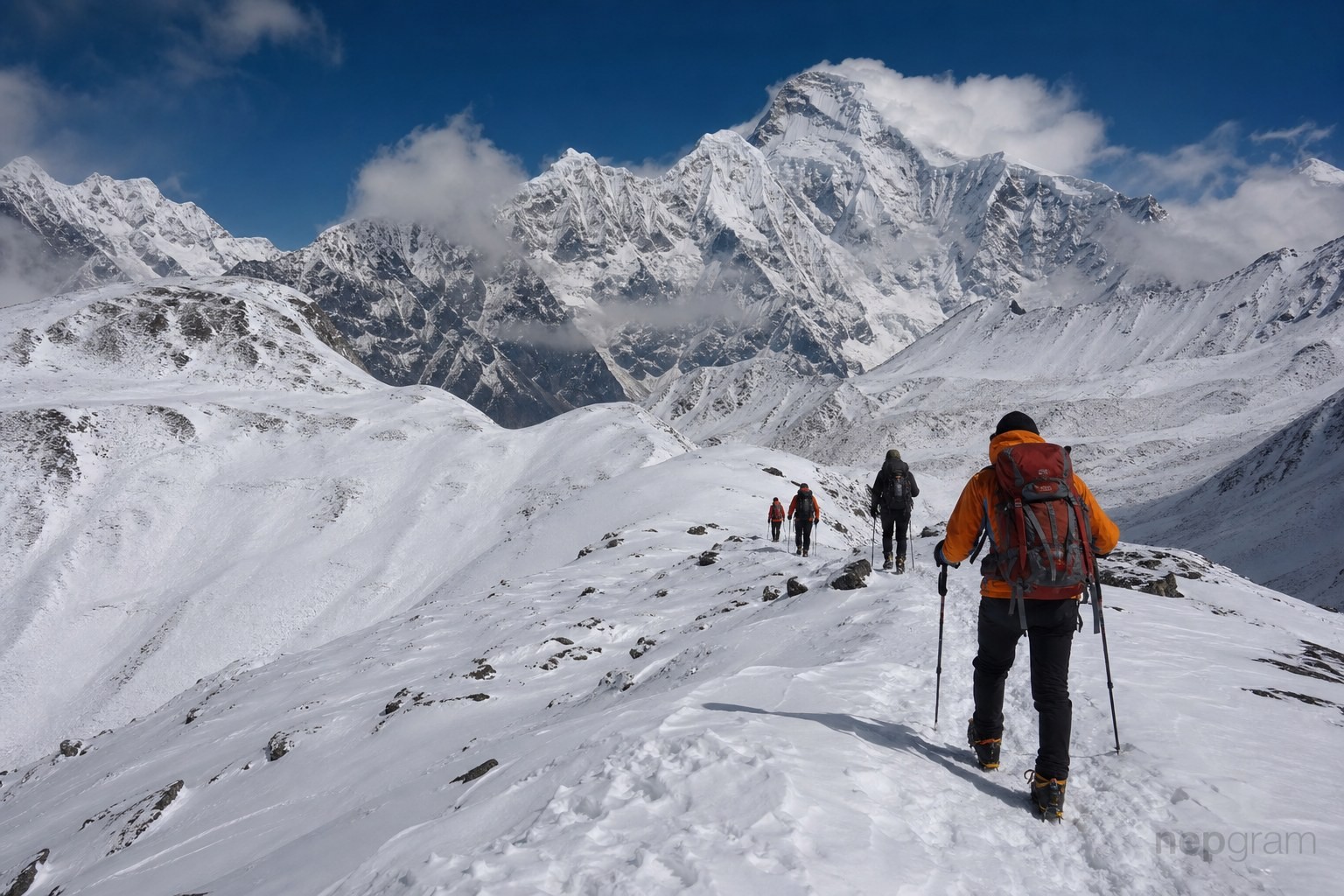
Ganja La Pass Trek
Via Kathmandu · Syabrubesi
Overview
Permits & preparation
- Langtang National Park entry
- TIMS
- Travel insurance with helicopter evacuation
- Valid passport / ID for checkposts
Requirements change — confirm with your guide or a licensed agency before departure.
Getting to Syabrubesi
Kathmandu → Syabrubesi isn't bookable on Nepgram yet
Overland to Syabrubesi
Choose your pace
Normal pace · ~4 days
Altitude by day
Day-by-day itinerary
Route map
Full routeTrail geometry and trail POIs are derived from OpenStreetMap and refined by Nepgram — © OpenStreetMap contributors (ODbL). Basemap credits appear on the map. Full credits: Attribution.
Trail routes, points of interest, altitudes and conditions can change and may be incomplete or inaccurate. Verify locally and don’t rely on this data alone for navigation or safety. Maps are for travel planning only; boundaries and names shown do not imply endorsement.
Guided treks
No guided treks are linked to this route yet.
Browse guided treksWhere to stay
Teahouses and lodges on this route are not listed yet.
Stays in this regionMore treks to explore
Ready for Ganja La Pass Trek?
A guide, a bed for every night and the ride to the start — book the whole trek on Nepgram.