Overview
Most Himalayan treks are vertical gauntlets designed to crane your neck toward eight-thousand-meter giants. Rara is different. Set in the remote Karnali highlands, the trek to Nepal’s largest lake (2,990 m) trades sheer ice walls for horizontal vastness, where crystal waters reflect the surrounding four-thousand-meter ridges in a landscape of rare purity and silence. Where the Khumbu and Annapurna trails hum with espresso machines and helicopter rotors, Nepal’s far northwest still moves at the pace of mule trains, woodsmoke, and wind through high-altitude conifers.
The Jumla Walk vs. The Talcha Shortcut
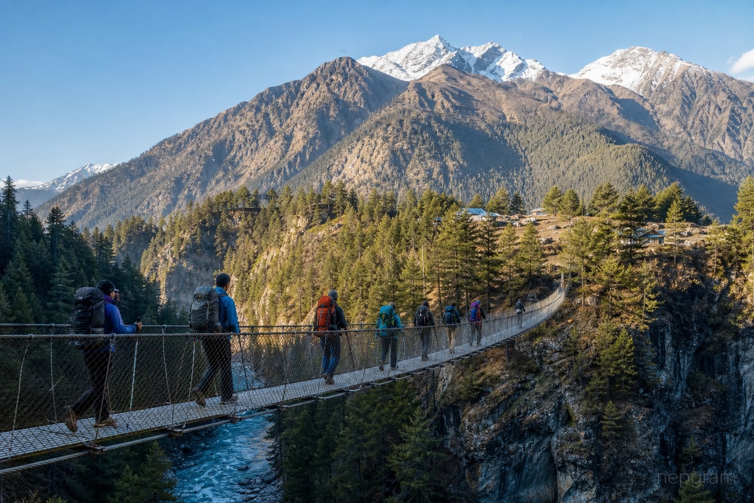
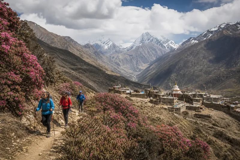
You can technically reach Rara Lake in an afternoon by flying from Nepalgunj into Talcha airstrip—a white-knuckle STOL landing carved into a hillside just two hours’ walk from the water. Don’t do it unless you have no choice. Talcha is notoriously weathered-in, leaving flyers stranded for days, and dropping straight to the lake strips the journey of its narrative arc. Starting in Jumla is what makes Rara a true trek. Walking north out of the Tila River valley lets your lungs adjust gradually and earns the reveal. You climb through the high ridge of Patmara and drop into the narrow, cliff-hugged gorge around Chautha, watching the architecture shift from whitewashed Hindu valley homes to flat-roofed, mud-and-timber Khas villages where red Marsi rice dries on the rooftops.
The Rhythm of the Eight-Day Loop
Rather than an out-and-back slog, this eight-day route traces a giant counter-clockwise loop through Jumla and Mugu districts. The first three days are a steady, undulating push northward—climbing out of Jumla’s apple orchards, cresting over three thousand meters at Patmara, dipping into the river valley at Chautha, and finally ascending through the quiet pine and spruce forests of Rara National Park until the trees suddenly part on day four to reveal the water at 2,990 meters.
After two days in the high basin of the lake and Murma, the return swings west and south rather than retracing your steps. Dropping over a thousand meters into the Sinja Valley on day six feels like stepping into another century; this river corridor along the Hima Nadi is the ancient heartland of the Khas empire, where 13th-century stone pillars and weathered temples sit beside working barley fields. From Sinja, the trail winds through the low, warm administrative bazaar of Gumgarhi and climbs one last forested ridge back into Jumla, completing a full cultural and ecological circuit.
The Lodge Situation at the Lake
Because Rara National Park evacuated its lakeside villages in the late 1970s to protect the watershed, you won’t find a sprawling teahouse town breaking the shoreline's stillness. For decades, strictly basic lodges at Danphe Lagna—notably the long-standing Heritage Resort—had the monopoly right near the water's edge, steps from the army barracks. Expect plywood-walled rooms, solar lighting that fades by late evening, bucket-flush toilets, and communal dining halls warmed by a central bukhari stove where everyone eats fresh dal bhat or local buckwheat pancakes. If you want slightly thicker walls or attached bathrooms, newer guesthouses have sprung up twenty to thirty minutes off the shore toward Salleri and on the ridge toward Murma, trading immediate water access for quieter nights.
The Murma Top Side Trip
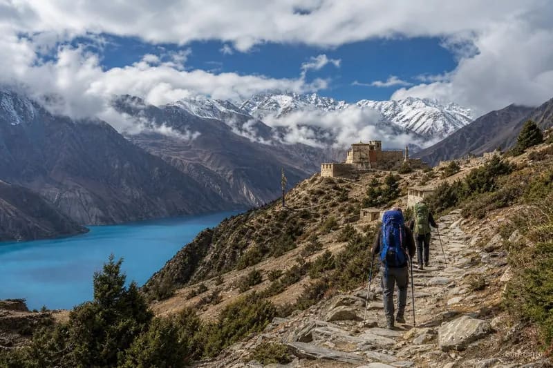
From the shoreline, Rara is so expansive—over five kilometers long—that it reads like an inland sea, making its shape impossible to grasp. That is why day five’s climb to Murma Top (3,630 m) is non-negotiable. Taking two to three steep hours up a forested ridge behind the western shore, the trail breaks above the tree line onto a windswept grassy knoll. From the top, the entire geometry of Nepal's largest lake snaps into focus below you, shifting from translucent turquoise in the shallows to deep indigo in the center, mirroring the surrounding four-thousand-meter ridges of Chuchemara, Ruma Kand, and Malika Kand, with the distant white serrated wall of the Kanjirowa and Api-Saipal ranges floating on the northern horizon.