All trek routes

Rara to Khaptad Corridor Trek

Via Kathmandu

Duration
12-14 days
Difficulty
challenging
Max elevation
3,020 m
Best season
Mar-May, Oct-Nov

Overview

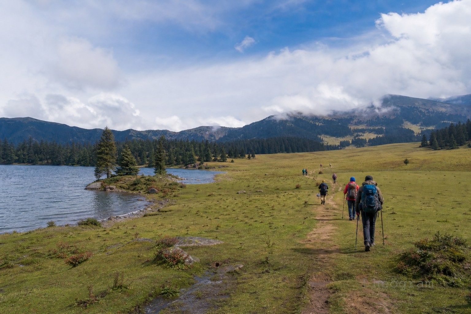
Most trekkers treat Rara Lake and Khaptad National Park as separate expeditions. Linking them into a single, twelve-day west-bound traverse creates one of the most ambitious wilderness corridors in the Far West—bridging two of Nepal’s most pristine protected areas without setting foot in the commercialized trekking circuits of the east. Instead of climbing toward high glacial passes, you move laterally across the spine of the Karnali and Sudurpashchim provinces, trading vertical extremes for deep isolation and shifting ecosystems. Two Sanctuaries, Two Worlds The magic of this corridor lies in the contrast between its anchors. In the north, Rara (2,990 m) is an alpine mirror framed by dark conifers, where you can hire a wooden boat to drift across deep cobalt waters and scan the forest edge for musk deer, red pandas, and Himalayan black bears. Over a week later, the landscape opens into the Khaptad Baba Plateau (3,020 m)—a rolling, three-thousand-meter sky island of twenty-two interconnected meadows (patans) rather than a single basin. Here, the pace invites horseback riding across open grasslands dotted with wildflowers in spring (March–May) or golden turf under crisp autumn skies (October–November), all centered around the quiet spiritual hermitage of the late Khaptad Baba. The Rhythm of the Twelve-Day Traverse Flying into Jumla (or taking the shorter Talcha airstrip hop) sets the eastern anchor. The first four days push north through high ridges to Rara’s shoreline. From the lake, the trail turns south and drops into the Sinja Valley (2,400 m) by day eight—trading quiet pine forests for the historic stone ruins and terraced barley fields of the ancient Khas empire. Leaving Sinja, the route enters its wildest stretch: a four-day westward crossing through the remote river valleys and forested ridges of Kalikot, Bajura, and Achham, climbing steadily onto the sacred grasslands of Khaptad by day twelve. Teahouses to Tents Unlike standard teahouse routes, this traverse requires hybrid logistics. Around Jumla, Rara’s shoreline, and the Sinja Valley, you sleep in simple, family-run lodges and local homestays warmed by wood-burning stoves. Once you strike west out of Sinja toward Khaptad, however, even basic lodges thin out; these middle transit stages and the nights up on the protected Khaptad plateau demand self-sufficient camping or stays in rudimentary government-run dharamshalas and army-post guesthouses.

Permits & preparation

  • Travel insurance with helicopter evacuation
  • Valid passport / ID for checkposts

Requirements change — confirm with your guide or a licensed agency before departure.

Getting to the trailhead

Browse all transport

Choose your pace

Normal pace · ~4 days

Altitude by day

2370
D1
2990
D2
2400
D3
3020
D4

Day-by-day itinerary

Jumla2370 mOpen in Maps

Route map

Full route

Trail geometry and trail POIs are derived from OpenStreetMap and refined by Nepgram — © OpenStreetMap contributors (ODbL). Basemap credits appear on the map. Full credits: Attribution.

Trail routes, points of interest, altitudes and conditions can change and may be incomplete or inaccurate. Verify locally and don’t rely on this data alone for navigation or safety. Maps are for travel planning only; boundaries and names shown do not imply endorsement.

Nearest help — SOS

Works offline once this page is loaded. Uses your GPS + this trek's saved safety points.

Guided treks

No guided treks are linked to this route yet.

Browse guided treks

Where to stay

Teahouses and lodges on this route are not listed yet.

Stays in this region

More treks to explore

Ready for Rara to Khaptad Corridor Trek?

A guide, a bed for every night and the ride to the start — book the whole trek on Nepgram.